


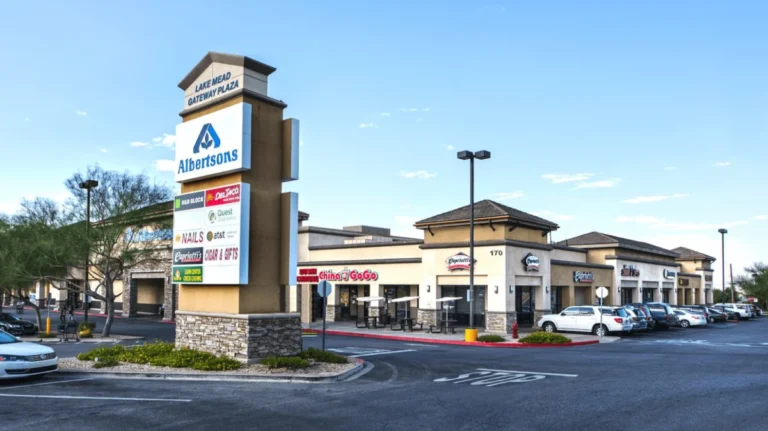


The Carson Area Metropolitan Planning Organization discussed the findings from Applied Pavement Technology, Inc.’s Pavement Data Collection and Pavement Management System Update during its April 9 meeting.
Background
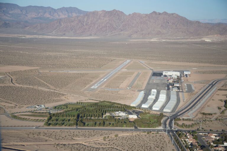
CAMPO hired APTech to complete the study during 2024. A meeting was held on October 22, 2024, which led to the data collection period that spanned from October to November. The study amassed 274 centerline miles of asphalt concrete roads, which adds up to 51.2MSF. The study was intended to provide elected officials with an overview of the road conditions and to point out specific areas that need prioritized attention.
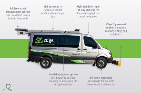
APTech used its Enhanced Data Gathering Equipment to automate data collection. EDGE collected data via a Laser Crack Measurement System, road surface profile data and cameras. The data was then georeferenced with an onboard GPS antenna. Once data was collected, APTech analyzed it and compiled results.
Results
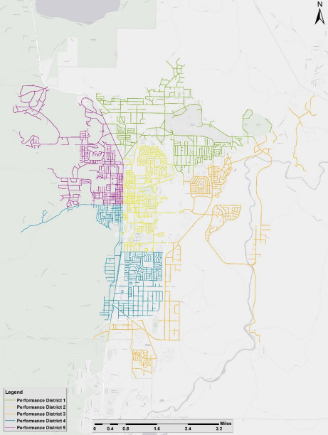
The pavement area is split among three different categories: Arterial, Collector and Local. Arterial roads represent 15.3% of the studied area, which totals 7.8MSF. Collector roads make up a slightly higher percentage at 19.3%. which equates to 9.9MSF. Local roads total 65.4%, or 33.5MSF. The total area was divided into five “performance districts” to streamline the data.
Results were measured on a grading scale that includes:
- Good,
- Satisfactory,
- Fair,
- Poor,
- Very Poor,
- Serious and
- Failed.
Of the measured area, 13% were considered Good, 20% were Satisfactory and 24% were Fair. This equates to more than 57% of roads in the area having at least a Fair grade.
Measurements also reflected 19% of the area was Poor, 18% was Very Poor, 5% were Serious and not even 1% of roads were classified as Failed.
The overall grade of the area was Fair. Regional roads were found to be in the best shape, with an average nearing Satisfactory. Local roads were found to be in the worst condition, with an average grade on the cusp of Poor and Fair.